02 · GPS-free machine-learning geolocation
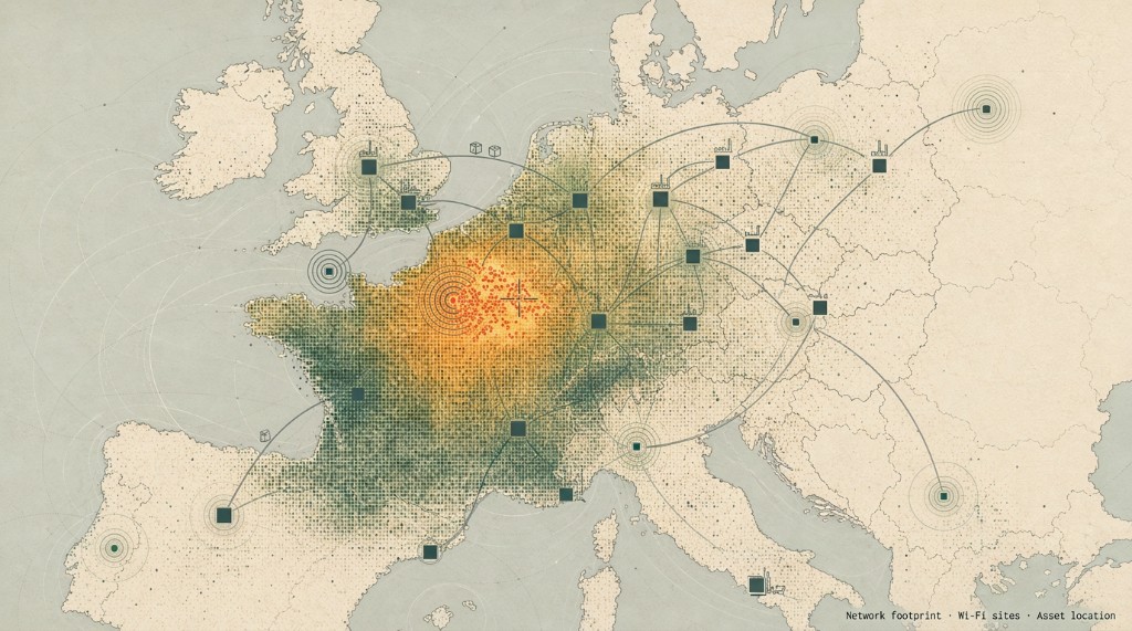
Finding equipment with connected devices without GPS
Took GPS-free geolocation from a proof of concept to a pilot and first production version, and designed the Wi-Fi Atlas extension offer.
- 80%
- of messages under 20 km (deck target)
- 99%
- availability target from the decks
- Pilot → v1
- proof of concept through first production
Situation
Sigfox sold connectivity. Supply-chain buyers such as DHL needed to track low- to medium-value assets at a rational cost, without GPS on every device. Geolocation was the flagship.
Insight
Supply-chain total cost of ownership versus GSM plus GPS needed both connectivity and location without GPS. Kilometre-scale geolocation computed by an algorithm on the messaging radio footprint was the flagship. Precision was enhanced on logistic sites by leveraging a few Wi-Fi-enabled devices and Wi-Fi hotspot databases. Wi-Fi raised precision because only a few devices in the fleet were Wi-Fi enabled (less than 5%, depending on the logistics operating framework).
Goals
Customers needed availability (a location returned per message) and accuracy. Data science owned model accuracy. Operators needed a launch gate. Adoption was device ramp. Non-goal: GPS-class precision on the network-only rung.
Achievement
Delivered through pilot and first production version. Target service-level objectives from the decks: 80% of messages under 20 km; 99% success; 99% availability; delivery under 3 minutes for 98%. Designed the Wi-Fi Atlas extension offer (pricing plus UI). I staffed 1 product manager, later 2 product managers plus a designer (the product owner was a peer).
Learnings
Drive operator decisions through a shortlist committee that can bind the community.
The flagship story is geolocation (IoTrack → Atlas / machine learning).
Public customer scale (~250k DHL roll containers) is lineage context, not a personal volume KPI. No absolute euro figures.